
GeoSync
Automatic two-way synchronization between your local GIS and GIS4Mobile Cloud
GeoSync connects your organization's existing GIS with GIS4Mobile Cloud. Data maintained in the office is published to field workers, and registrations collected in the field flow back into your GIS – without manual exports and imports.
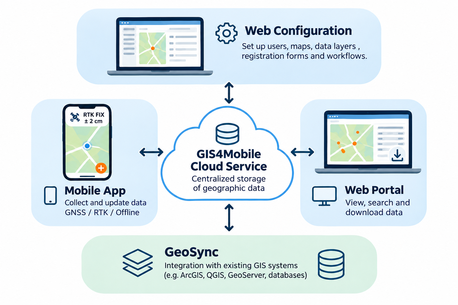
Supported GIS systems
GeoSync works with the GIS systems and databases most organizations already use:
Databases: PostGIS, Microsoft SQL Server Spatial and Oracle Spatial.
Files: Esri Shapefile and MapInfo TAB.
GIS applications: ArcGIS, QGIS, MapInfo, GeoMedia, MicroStation and GeoServer.
How it works
Import: New and modified registrations from the field are transferred from GIS4Mobile Cloud to your GIS, including photos.
Export: New and modified objects in your GIS are published to GIS4Mobile Cloud, making them available to field workers.
Synchronized deletes: Objects deleted in your GIS can also be removed from GIS4Mobile Cloud, with a built-in safety limit that warns before large deletions.
Every object has a unique ID, so only new and changed data is transferred, and each object is updated in the right place. If the same object has been changed both in the field and in the office, the field registration takes precedence.
Flexible scheduling
Synchronization can be run manually or automatically at a fixed interval – as often as you need. For most organizations, a daily synchronization is recommended.
GeoSync can send an email after each synchronization, or only if an error occurs.
Publish existing GIS data
A guided setup lets you publish existing GIS tables to GIS4Mobile. GeoSync creates the matching themes in GIS4Mobile Cloud, uploads the data and sets up a user profile, so field workers can start maintaining the data right away.
Get started
GeoSync Standard is available for a one-time setup fee and an annual subscription. Contact us to learn how GeoSync can connect your existing GIS environment with GIS4Mobile Cloud.