
GIS4Mobile app – The Map Collector
Collect, register and update geographic data directly in the field.
GIS4Mobile is a mobile GIS application for collecting and managing geographic information using smartphones and tablets.
Record GPS coordinates, attach photos and register customizable attributes for points, lines and polygons. View existing geographic data on maps, update registrations and synchronize your work with GIS4Mobile Cloud.
The app is designed for field workers in companies, municipalities and organizations that need accurate, consistent and efficient geographic data collection.
Collect Geographic Data in the Field
GIS4Mobile makes it easy to register geographic objects and associated information directly at their location.
Register points, lines and polygons.
Capture GPS coordinates and use supported GNSS/RTK positioning equipment for higher accuracy.
Take photos and attach them to registrations.
Enter text, numbers, dates and other attributes.
View and update existing geographic data.
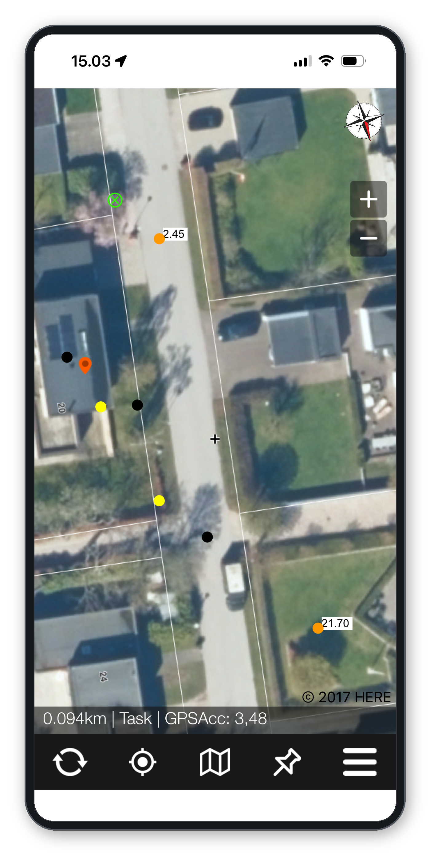
Display registrations on the map using colors based on their attributes.
All registrations follow the configuration defined for the user, ensuring that the correct information is collected.
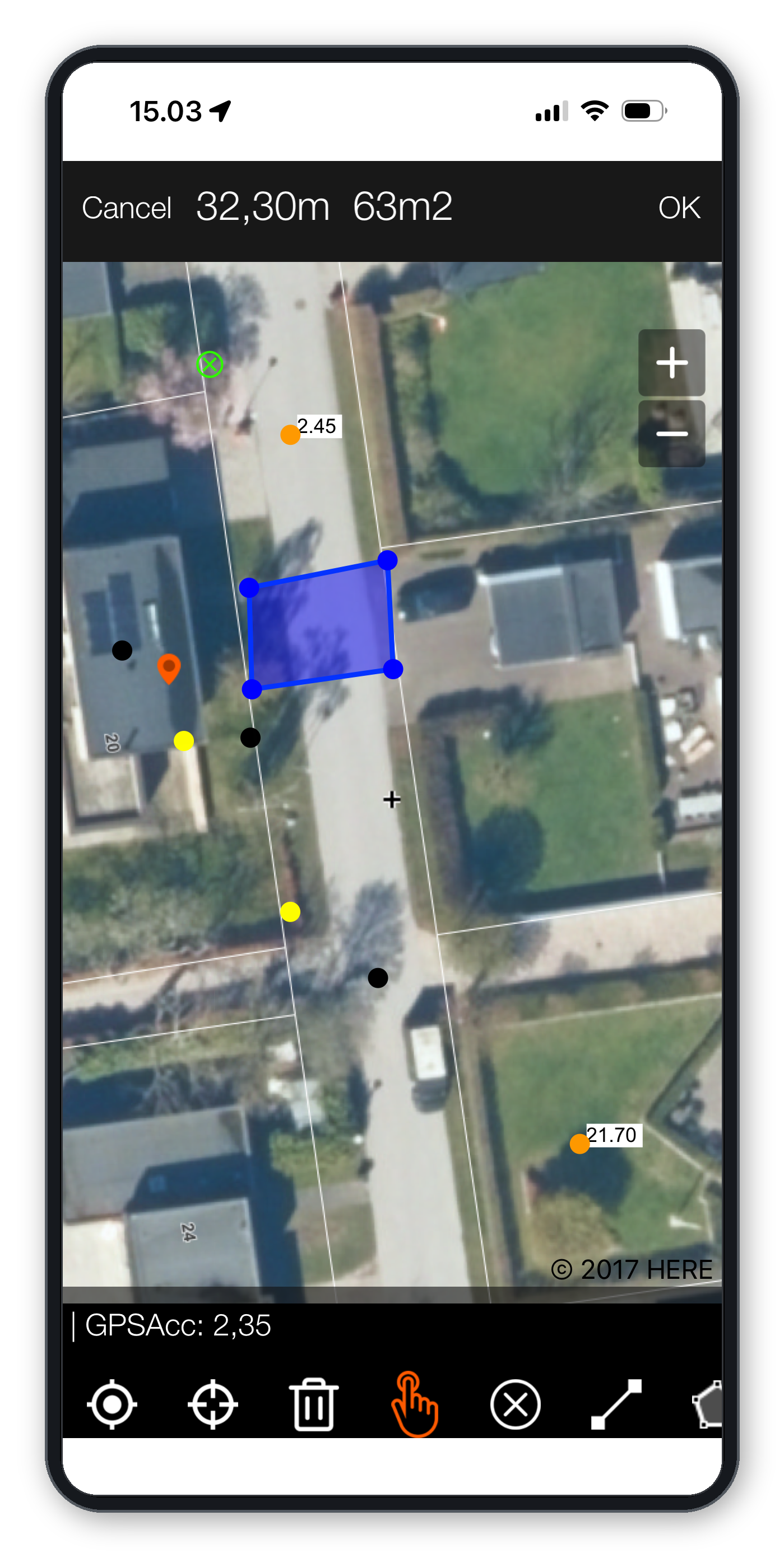
Customizable Registration Forms
Registration forms can be designed to match the requirements of each organization and workflow.
Supported input types include:
Text and numeric fields.
Required and optional fields.
Yes/no selections.
Dropdown lists, including dependent selections.
Date fields.
Multiple-choice selections.
Read-only information and links to documents.
Photo attachments.
Forms and user profiles are configured through a web-based interface, allowing administrators to control which maps, data layers and registration fields are available to each user.
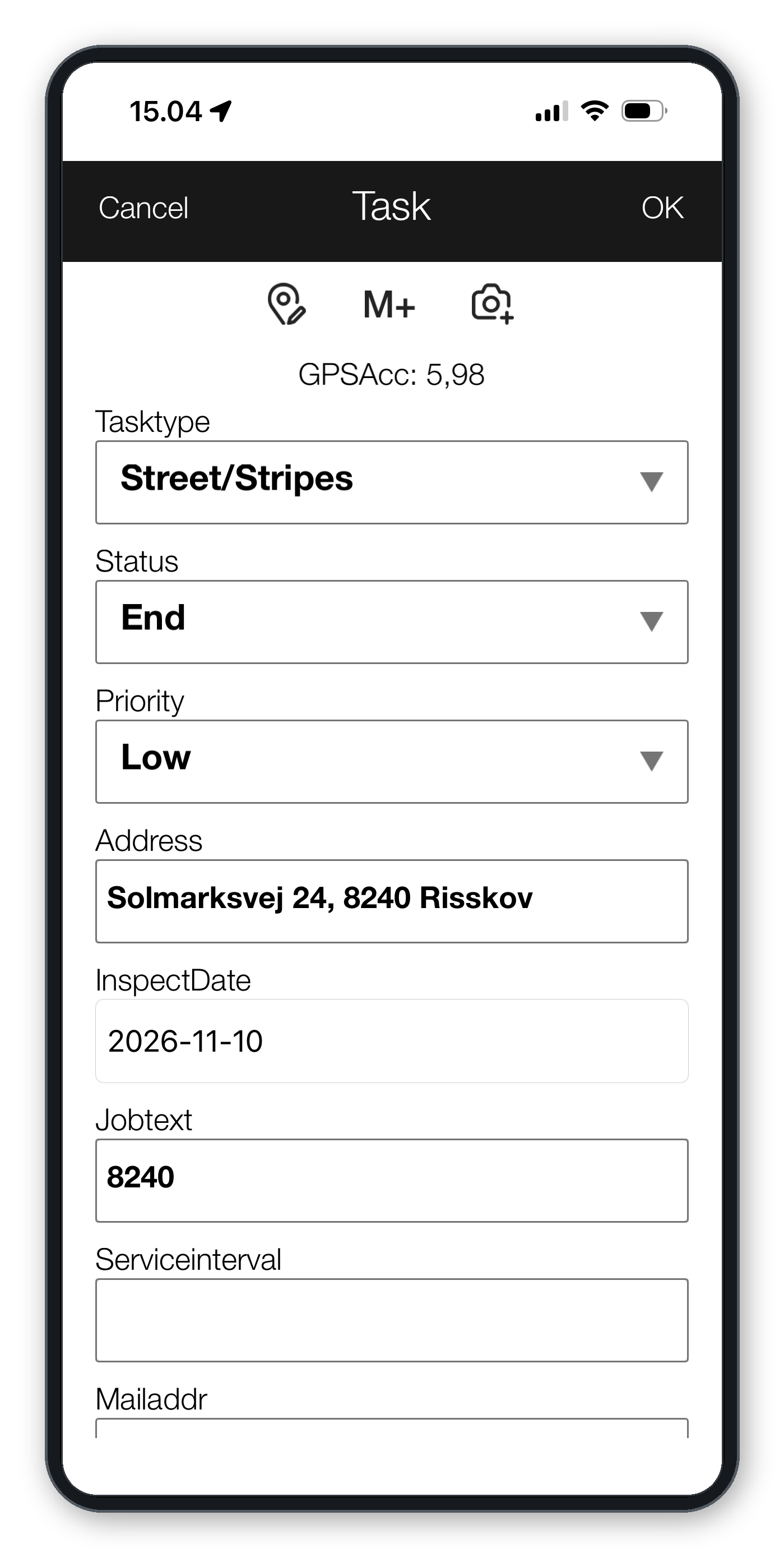
Maps and Geographic Data
GIS4Mobile combines field registration with map-based visualization.
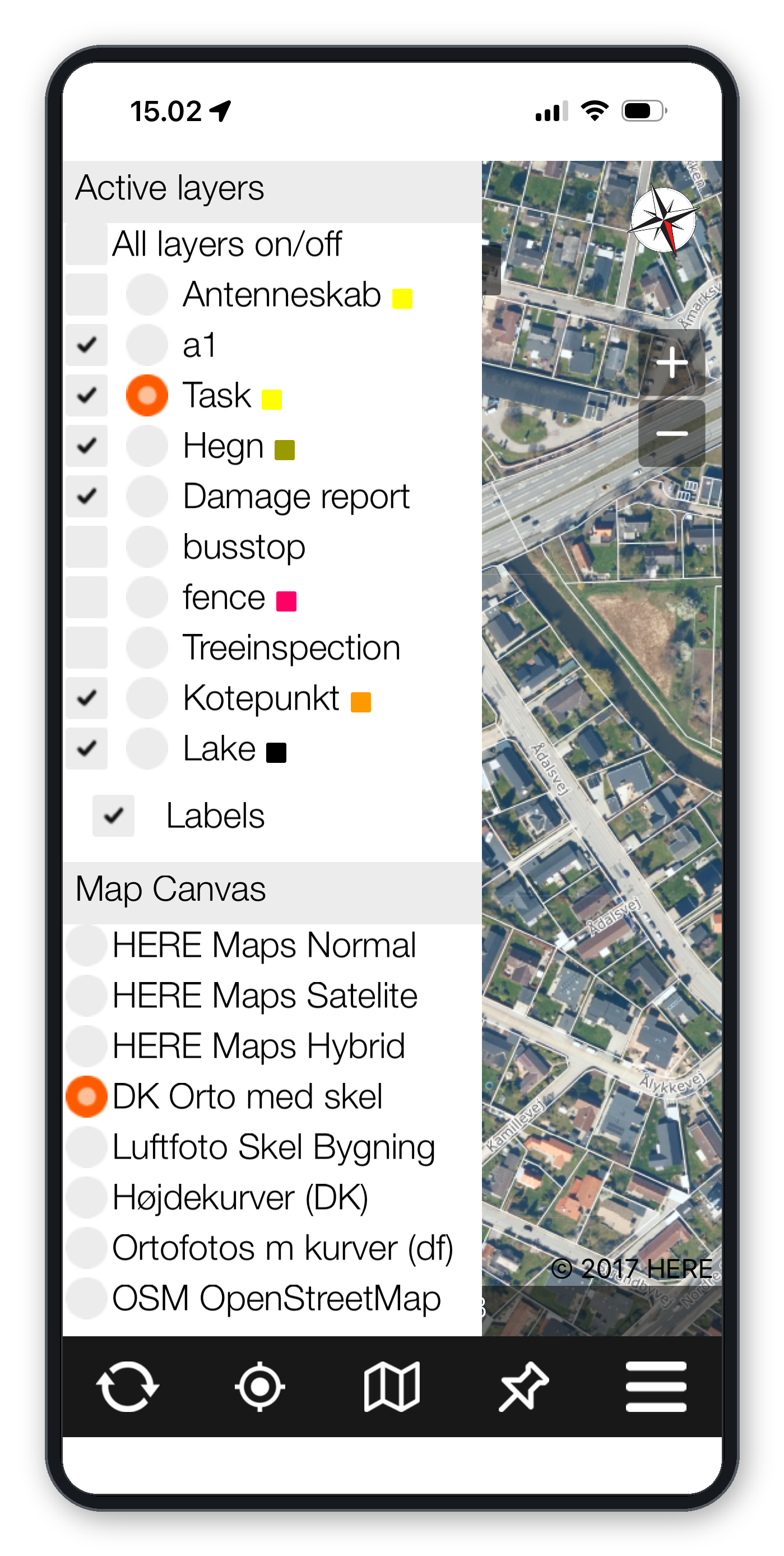
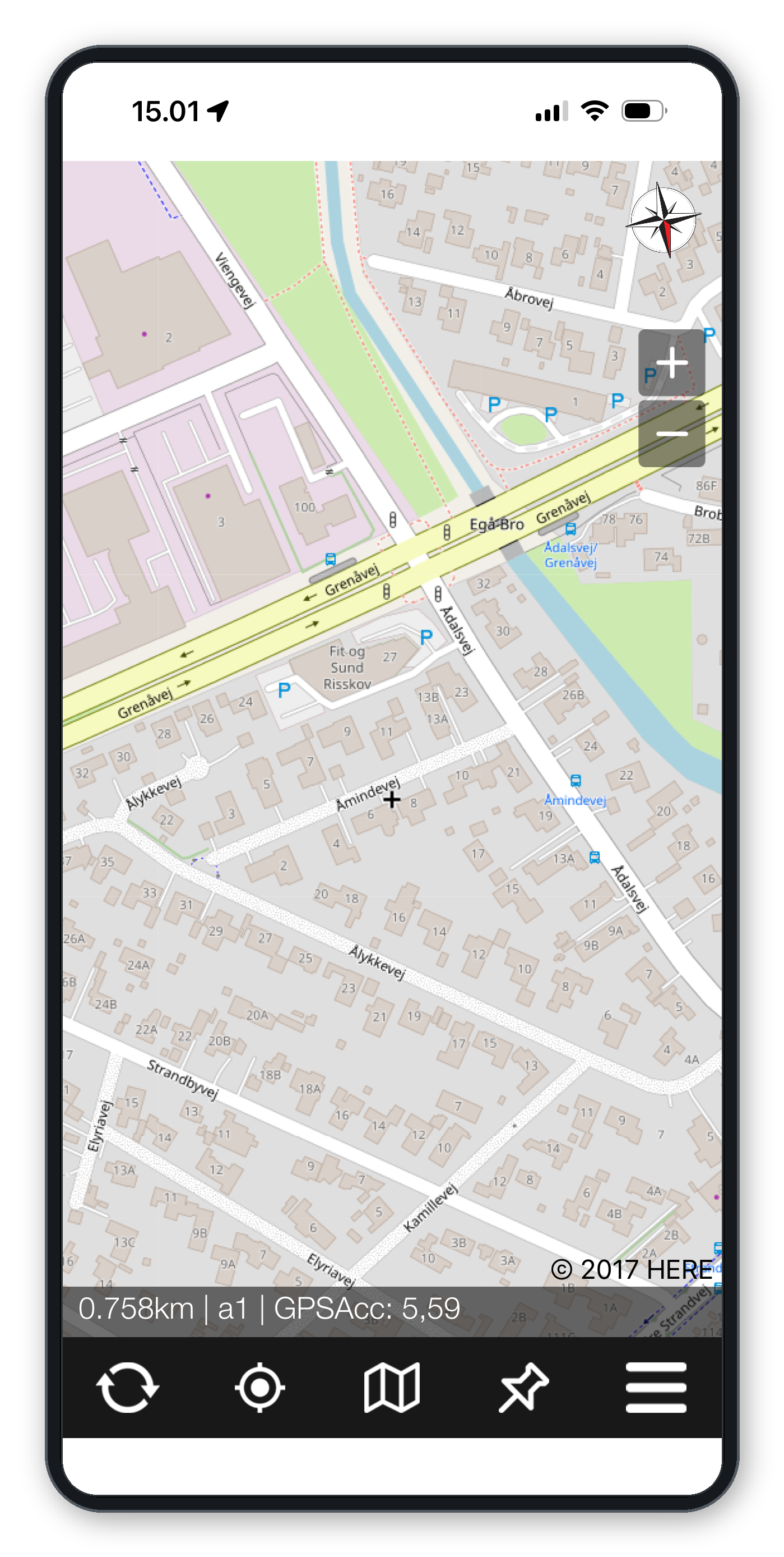
Users can work with background maps, including OpenStreetMap and supported WMS services, as well as geographic data provided by their organization.
Existing registrations can be displayed, selected and updated directly on the map.
When a registration is made, the app can automatically add geographic information such as the nearest address, street name and urban zone, reducing manual data entry.
Work Offline – Even Without Internet Access
GIS4Mobile is designed for fieldwork where mobile coverage may be limited or unavailable.
Registrations can be created and edited without an internet connection. Data is stored locally on the device and synchronized with GIS4Mobile Cloud when connectivity becomes available.
Background maps can also be prepared in advance using the offline map functionality.
This allows field workers to continue collecting geographic information even in remote locations.
Efficient Data Collection
GIS4Mobile includes features that reduce repetitive work and improve productivity.
Multi-edit
Select multiple geographic objects and update shared attributes in a single operation.
Save and Reuse Attributes
Save frequently used attribute values and retrieve them when creating new registrations.
Repeat Previous Values
Configure selected fields to automatically reuse values from the previous registration.
These features are particularly useful for inspections, asset inventories and large-scale field surveys.
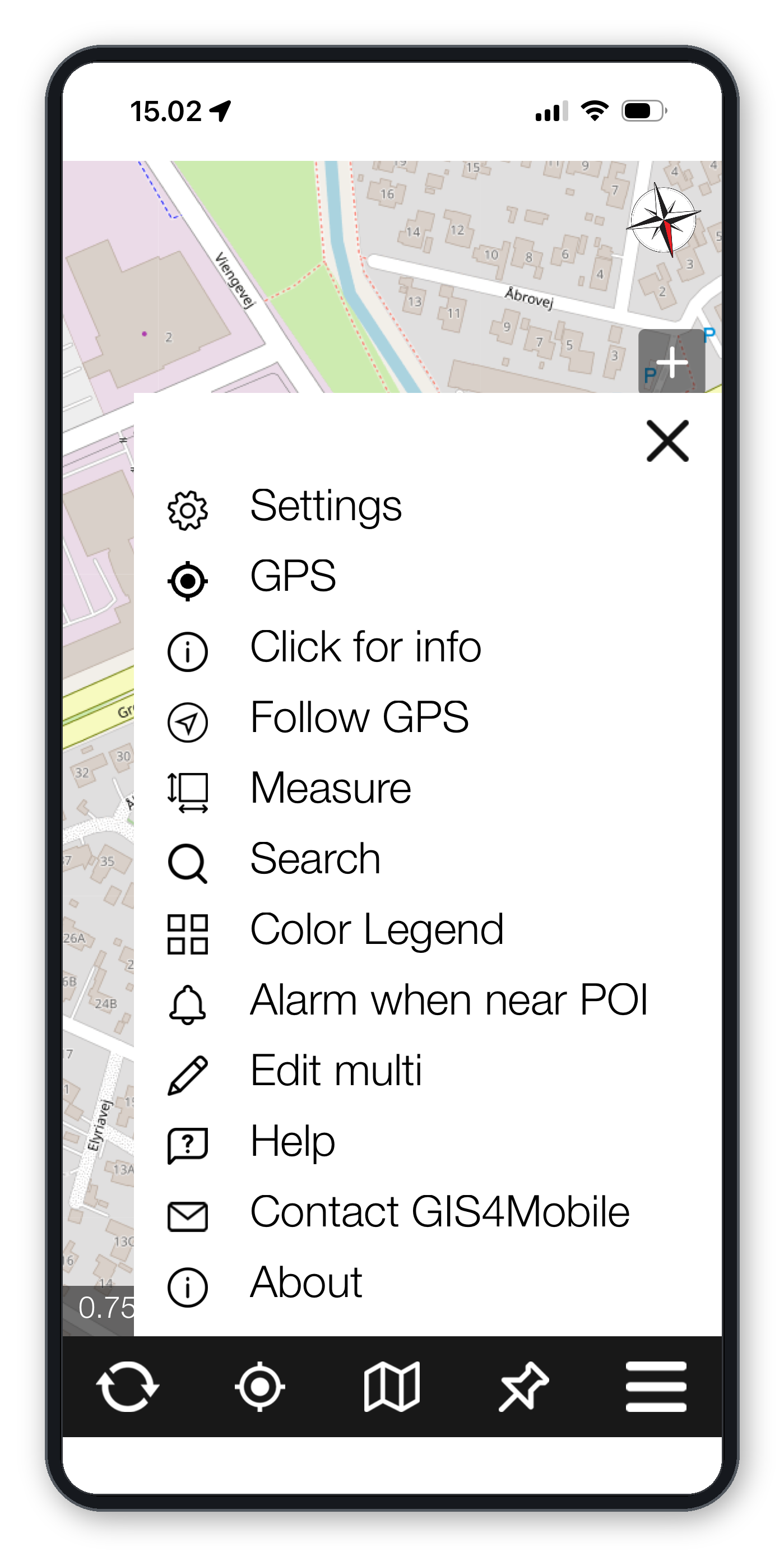
GIS4Mobile Cloud and Integration
Collected data is synchronized with GIS4Mobile Cloud, where it can be stored centrally and accessed by authorized users.
Through the web portal maps.gis4mobile.com, geographic data can be viewed, managed and downloaded – read more about GIS4Mobile Web.
Organizations can configure users, maps, forms and workflows centrally to ensure consistent data collection across their workforce.
GeoSync provides optional integration with existing GIS systems and databases.
Recommended GPS Equipment
Need centimetre-level accuracy? GIS4Mobile works with external RTK receivers. We recommend the ArduSimple RTK Smart Antenna, which connects via Bluetooth on both Android and iOS. In Denmark, we recommend RTKconnect for RTK corrections.
Read more about recommended GPS equipment
Get Started with GIS4Mobile
Download the GIS4Mobile app and start collecting geographic data in the field.
Try GIS4Mobile free for 30 days, or contact us to learn more about centrally managed solutions for your organization.