
GIS4Mobile Web – Maps and Data Management
View, manage and download your geographic data directly in your browser.
maps.gis4mobile.com is the web-based interface for accessing and managing geographic data collected with the GIS4Mobile app.
The solution allows office staff and administrators to view registrations on a map, filter and edit data, and download information for further processing.
View your data on a map
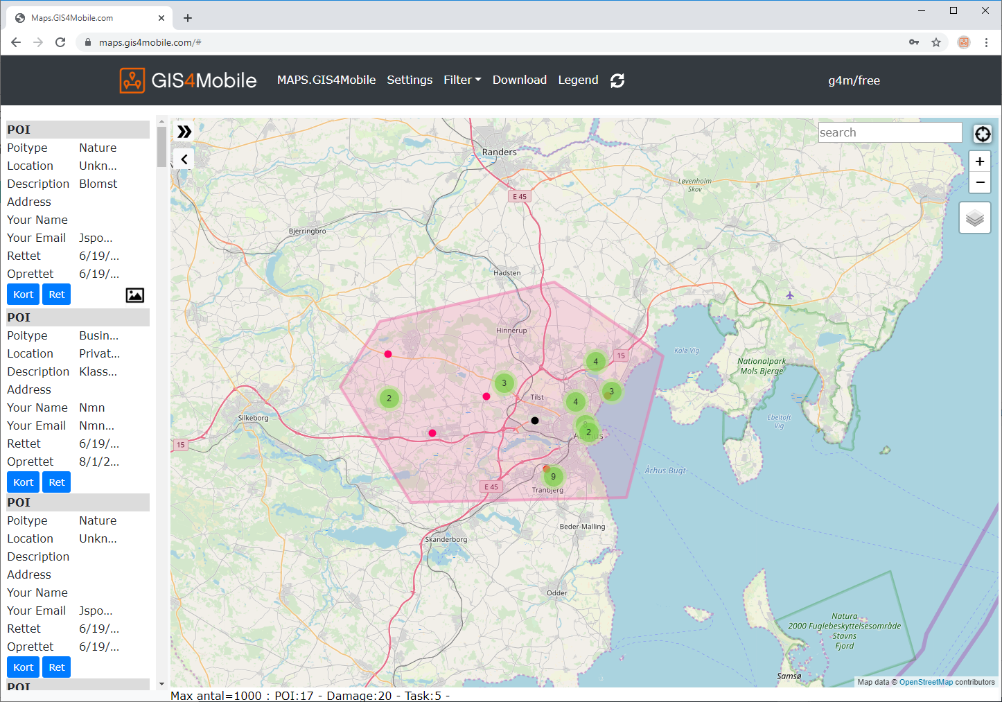
All registered geographic objects can be displayed on an interactive map.
This provides a clear overview of field registrations and makes it easy to locate and inspect individual objects.
Filter geographic data
GIS4Mobile Web provides flexible tools for selecting the information you need.
Filter by geographic area
Draw a polygon directly on the map to select registrations within a specific area.
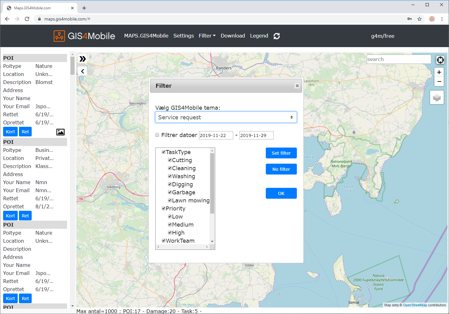
Filter by attributes
Select registrations based on information such as registration date and other recorded attributes.
The system displays the number of objects matching your selection.
View and edit data in a table
Switch between map view and table view to work with registrations in different ways.
The table view provides an overview of the selected objects and allows users to edit or delete registrations.
This is particularly useful when reviewing and maintaining larger datasets.
Download and export data
Selected data can be downloaded in several GIS formats for further processing and analysis.
Excel export is particularly useful for reporting, filtering and working with registration data outside GIS4Mobile.
Customized reports, such as reports showing time spent on individual tasks, are available on request.
From fieldwork to office
GIS4Mobile Web and the GIS4Mobile app work together as part of the same solution.
Field workers collect and update geographic information using the mobile app, while office staff can access, review and manage the registrations through the web interface.
Users, maps and registration forms are set up at my.gis4mobile.com – read more about the User Profile Designer.
For organizations using an existing GIS environment, GeoSync can provide automatic synchronization between GIS4Mobile Cloud and local GIS datasets.
Access GIS4Mobile Web
Open the map portal to access your geographic data.